
Unmanned Aerial Inspection Vehicle - News
Thank you!
A copy of the thesis can be downloaded throught the Warwick archive: http://wrap.warwick.ac.uk/59055/
Although the project has officially ended I am still interested in taking it further, if you would like to get in touch please email me using the "page contact" link at the bottom of the page.
Lastly, a big thank you to everyone involved for making this project possible and as much fun as it has been.
Dr. Stefan Winkvist
Thesis!
The thesis is finally finished, printed and bound!
Viva is due in September, a digital copy will hopefully be available shortly afterwards.

Publication!!!
I wrote a paper describing the success I've had with the Hexakopter project and some of the challenges involved.
It has just gone to print in the Industrial Robot journal, you can access it here.
Wired Magazine UK!
My Hexakopter UAV project has gotten a two page spread in Wired Magazine UK!
Check out the March 2013 edition now on sale (click here for the online version)
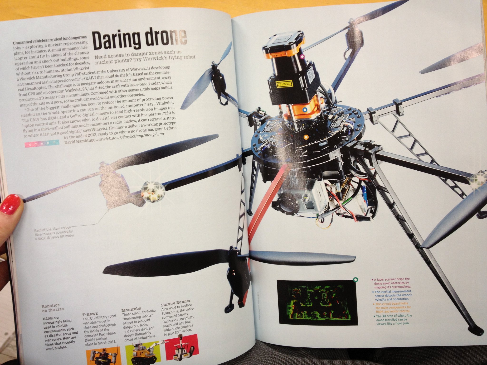
Image source: @warwickuni on Twitter: https://mobile.twitter.com/warwickuni
Now: "As seen on TV!"
The project was featured today on BBC Midlands Today!!!
If you missed it, the clip can be viewed on their facebook page: Click here to view the video
New Video!
Here's a new video taken during the first "official" test flight: (Watch in HD)
Farnborough Airshow
The Exhibition went very well, great fun.
Had a lot of interest in the Hexakopter from both the public and companies. Now, if only I had a penny for every time I heard someone say "Look, it's got a go-pro on it!"...
On the two days I was there (Thursday/Friday) I flew the Hexakopter around the UAV showcase area, a large netted area in hall 3. For various reasons the other demonstrators had to pull out so I ended having the whole test area for myself for the entirety of both days!
Unfortunatly, due to a lot of WiFi interference I couldn't fly it autonomously, so got a lot of practice hand flying it.
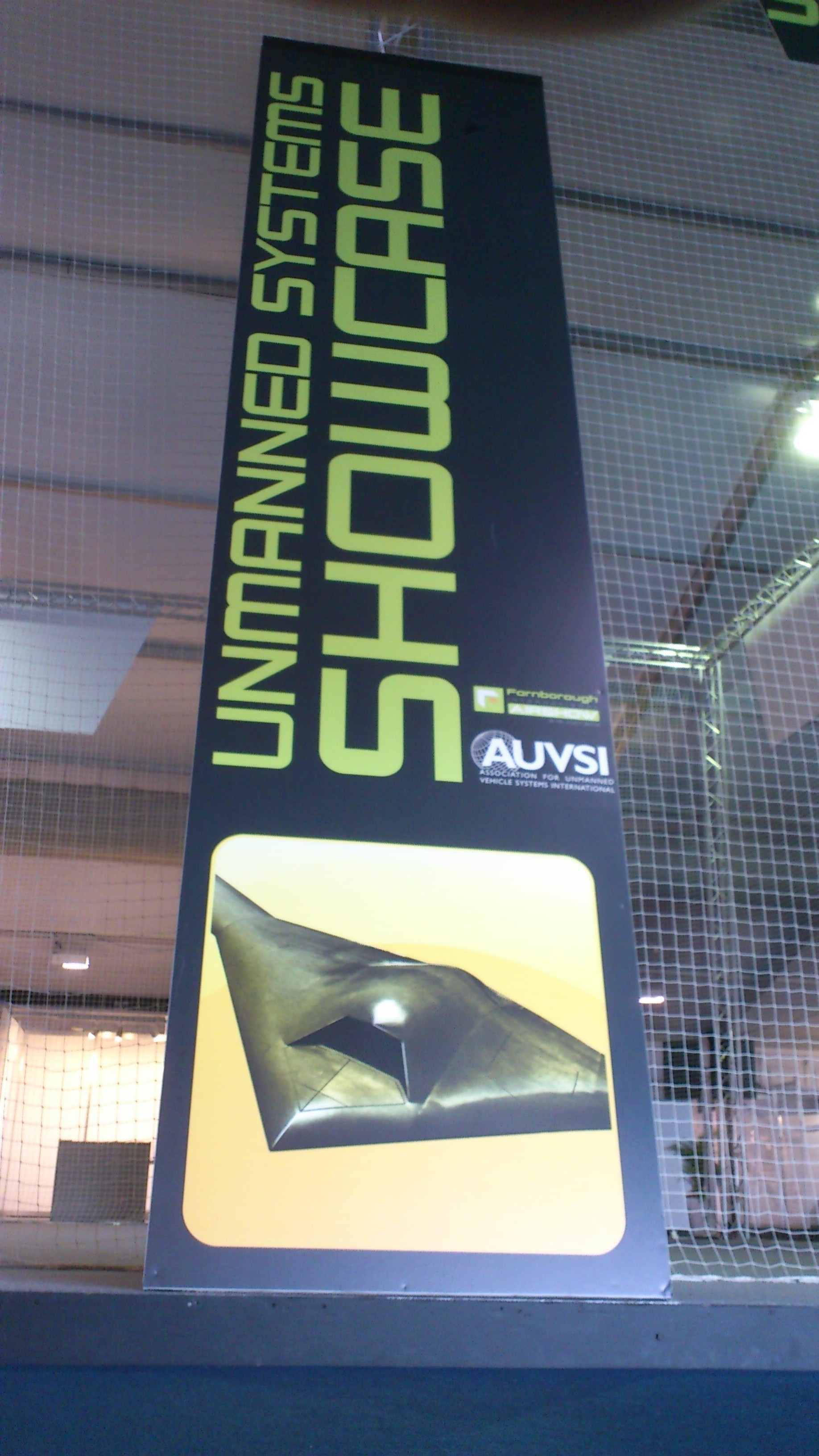
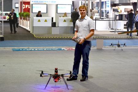
Farnborough International Airshow 2012
The Hexakopter and the WMR rescue robots will be on display at the Farnborough International Airshow next week!
It will be on display at the WMG stand from Monday 9th to Friday 13th. I will be attending Exhibition during the Thursday and Friday to talk to people about the project and also perform live demonstrations!
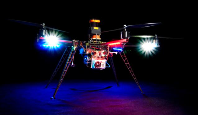
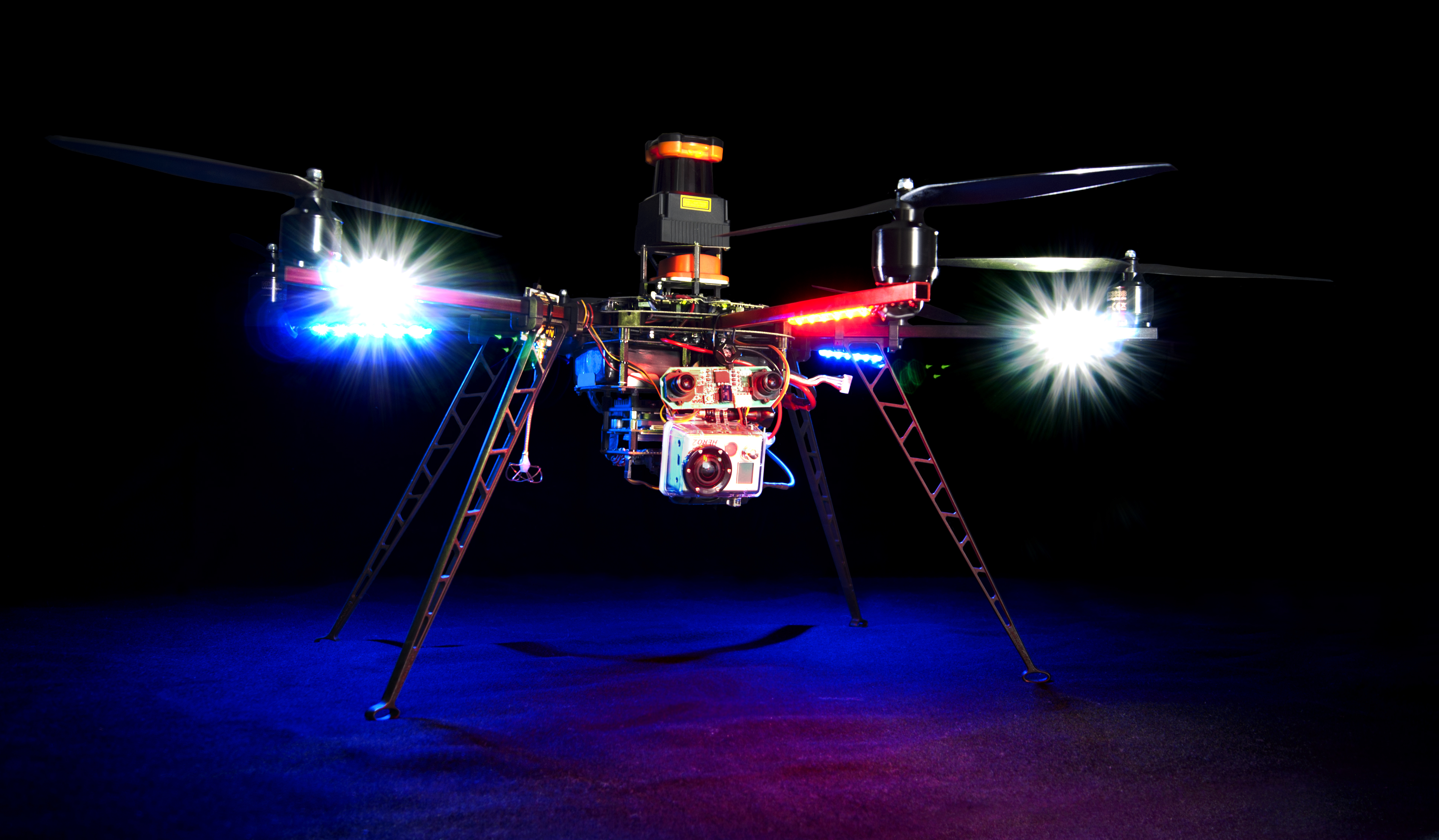
New Hexakopter
The new (slightly larger) hexakopter has arrived and been built.
It now has lights, as well as the added payload capacity to carry the GoPro!
I'll upload a few more photos in the coming days.
BCS Coventry University Challenge 2012
I was kindly invited to present a poster at the BCS Coventry poster evening held in the Computer Science department at Warwick.
Not only was there a lot of interest in the UAV project and a lot of good questions, I also won the prize for the best poster from Warwick. Hurray!
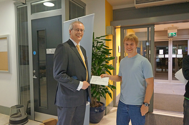
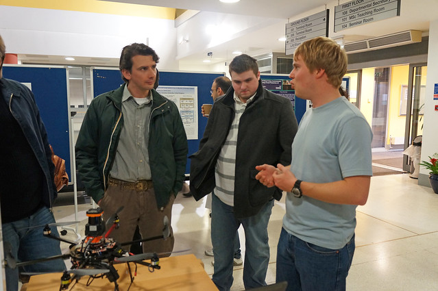
Photos are © BCS Coventry (p.s. Thanks!!!)